
The Lower Riverland: Cliffs & Bends
A two-day run through the soft limestone cliffs of the lower river
The plan
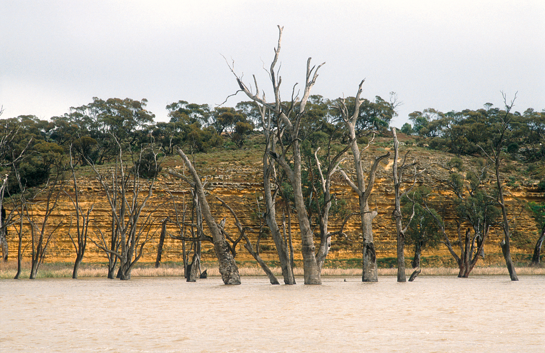
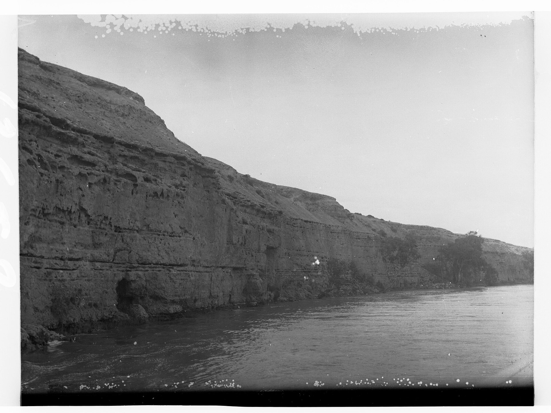
The lower Riverland is cliff country. Here the Murray cuts into soft limestone, raising walls of ochre, cream and rust that glow at sunset and shelter nesting birds. This drive chases the best of them.
Work downstream over two days, pausing at lookouts, ferries and the lock at Blanchetown where the tamed river shows its engineering. Late afternoon is the magic hour, when the low sun sets the cliffs alight — plan your stops accordingly.
It's an easy, scenic loop that pairs big river views with a sense of how the Murray shaped, and was shaped by, this landscape.
Day 1
3 stops-
1
-
2
-
3
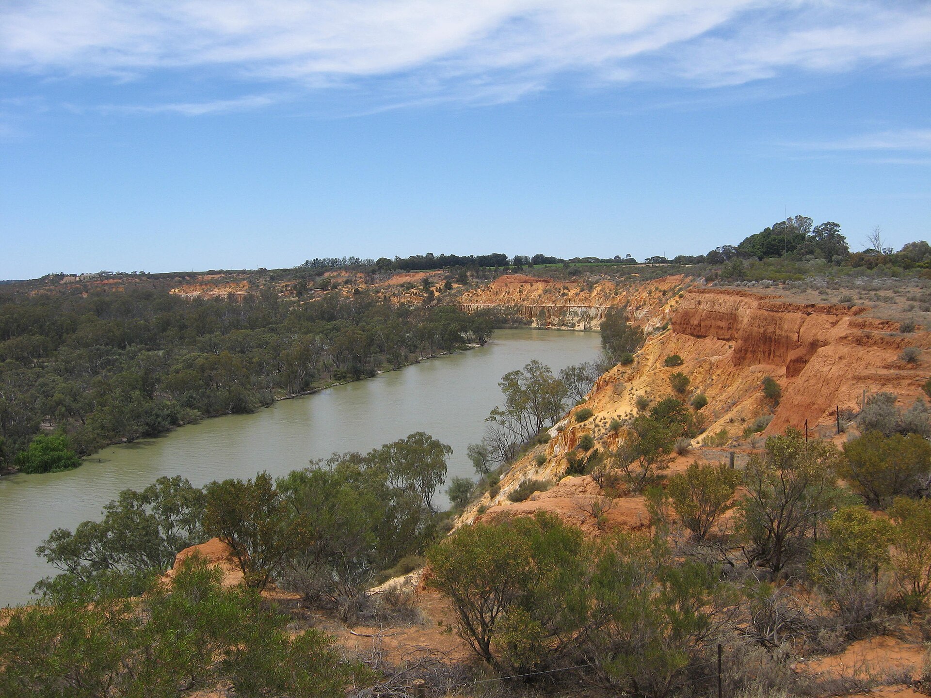
Morgan Cliffs Lookout
MorganCatch the cliffs and the great bend at Morgan in the afternoon light.
See place →
Day 2
4 stops-
1
-
2
-
3
Lock 1 Blanchetown
BlanchetownSee the river tamed at Lock 1, the first weir on the Murray.
See place → -
4
Lock 1 Weir Walk, Blanchetown
BlanchetownFinish on the weir walk for a close look at the engineering.
See place →
On the map
More like this
 Top 10
10 Unforgettable River Experiences in the Riverland
The Murray River is the soul of the Riverland. These ten experiences put you right on the water — or beside it for the golden hour.
 Top 10
7 Best River Cliffs & Lookouts on the Murray
The Murray's limestone cliffs are the Riverland's signature landscape. These are the seven best places to stand beneath them — or above them — and watch the light do its work.
 Top 10
10 Riverland Cliffs & Lookouts on the Murray
The Murray's soft limestone cliffs are the Riverland's signature scenery. These ten lookouts and cliff faces are the most dramatic of all.
 Top 10
8 Free Things to Do in the Riverland
Some of the Riverland's best experiences cost nothing at all. Here are eight free ways to enjoy the river, the cliffs and the wildlife.
 Top 10
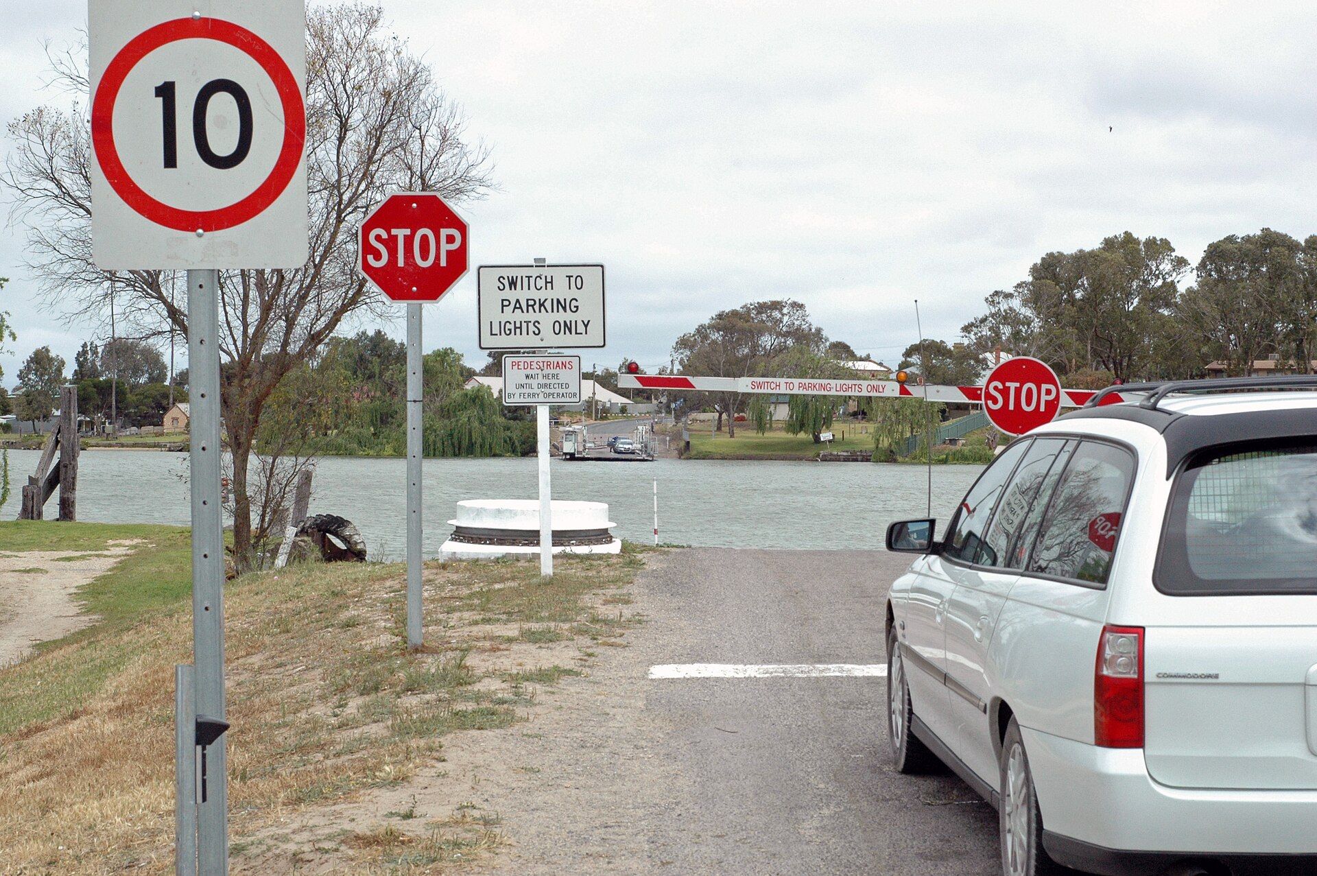
8 Free Murray River Ferries to Cross in the Riverland
South Australia keeps its Murray ferries free and running 24/7. Here are the Riverland crossings worth making for the ride alone.
 Guide
Guide
A Family River Day on the Murray
You don't need a houseboat to give the kids a great Murray day. Ride free ferries, board a paddle boat, hunt down a Big Thing and finish with a swim and an ice cream on a grassy riverfront.
Image credits
- Cliffs along River Murray(GN13652).jpg by State Government Photographer , CC0 via Wikimedia Commons