

Waikerie Rotary Clifftop Walk
An hour above the Murray on a settlers' clifftop route
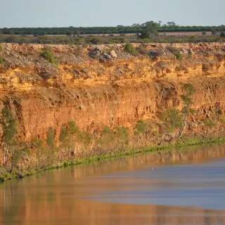
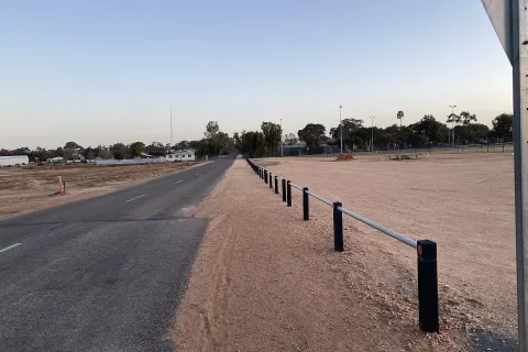
A 3.6 km walking trail along the ochre cliffs above the Murray at Waikerie, following a clifftop route used by settlers since the 1890s, with lookouts over the river and floodplain.
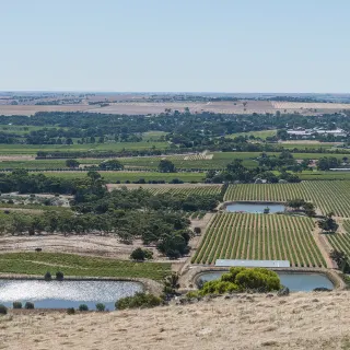
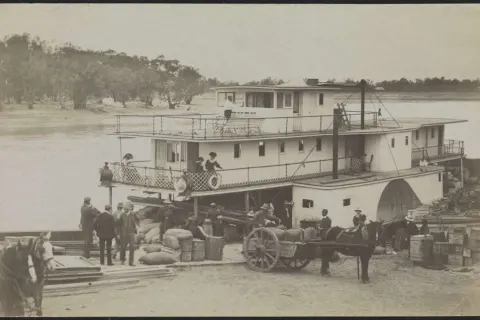
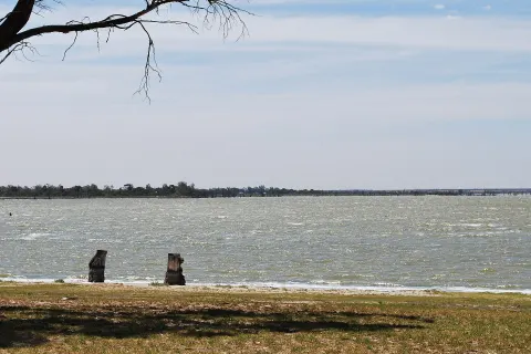
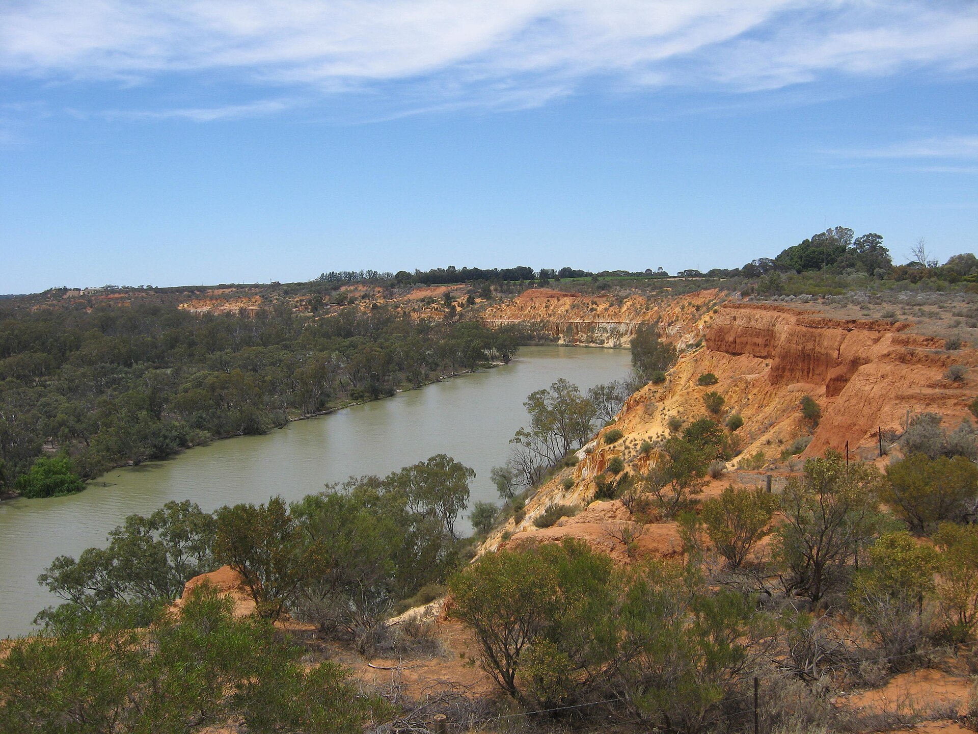
The cliffs are Waikerie's grandstand, and this trail walks the full length of the front row. Running about 3.6 kilometres along the ochre cliff line above the Murray, the Rotary Clifftop Walk follows a route locals have used since the 1890s, when it connected the settlements of Holder and Waikerie. Today it strings together lookout after lookout over the river, the green floodplain and the red gum forests fading into haze.
It is an easy hour, dressed up with public art along the way, and it delivers the town's best perspective on a Riverland truth: the river does not run through this country so much as below it, in a broad trench the cliffs have been guarding for a million years. The view explains the Waikerie cliffs better than any sign could.
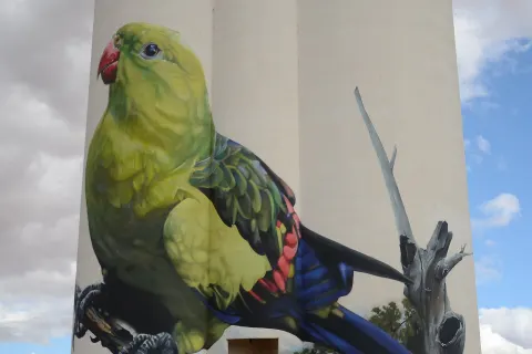
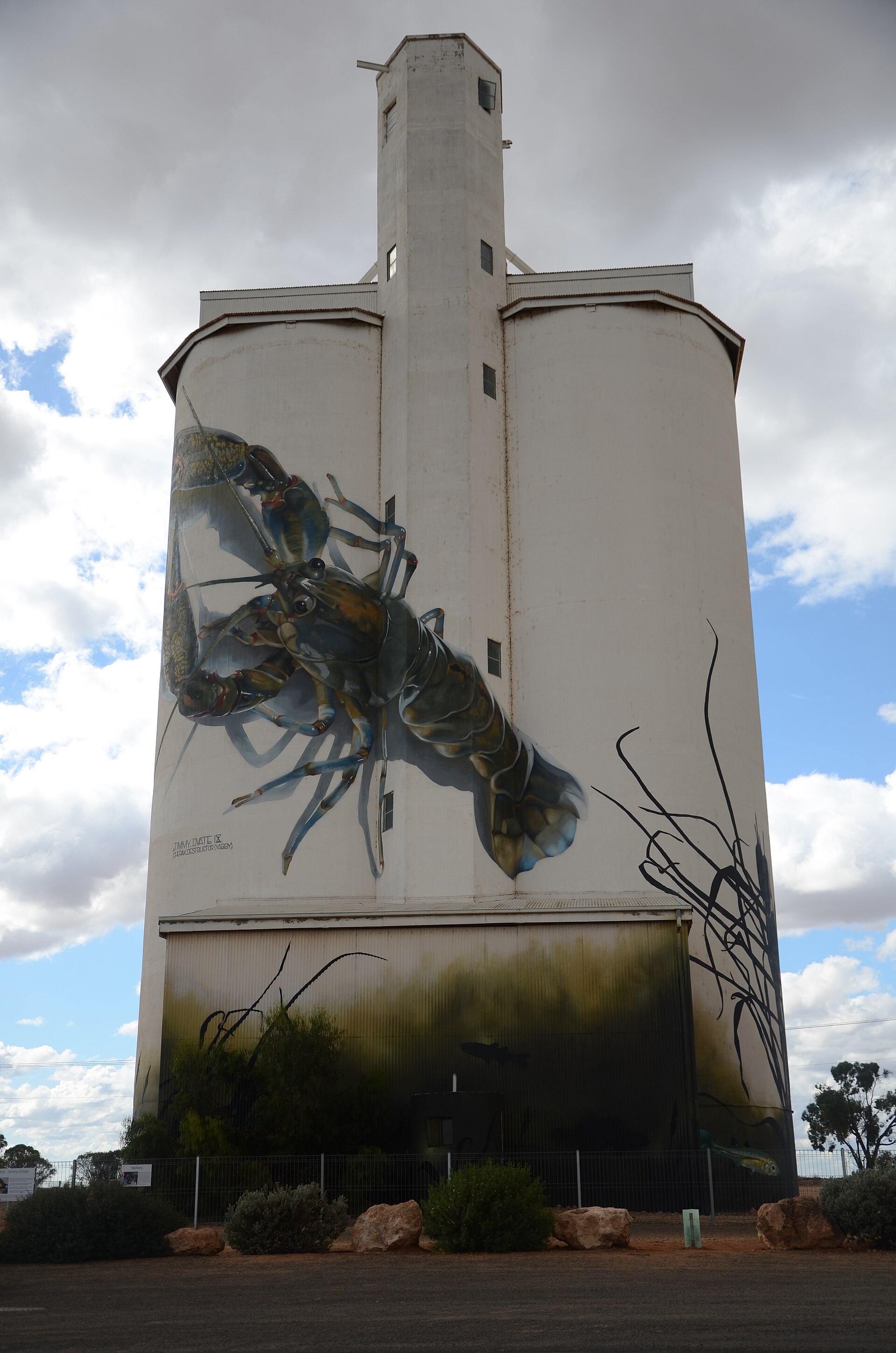
Start or finish at the silo art near the town end, and carry water in summer - the track is open to the sky for most of its length. More cliff-line vantage points feature in our cliffs and lookouts list.
Find it on the map
Got a photo of Waikerie Rotary Clifftop Walk?
Share your best shot. If we use it in the gallery, you'll be credited by name. Photos are reviewed before going live.
Last verified 7 August 2026 · source: SA Tourism (southaustralia.com)
Within a short drive
Places within 5km of Waikerie Rotary Clifftop Walk
You might also like
Similar experiences across Riverland
Waikerie Rotary Clifftop Walk - frequently asked questions
How long is the Waikerie clifftop walk?
The trail runs about 3.6 kilometres and takes around an hour at an easy pace, with multiple lookout points along the cliff edge above the Murray.
What will I see along the way?
Sweeping views over the river, its floodplain and distant river red gums, plus public artworks along the route and the painted silos near the town end. The route itself follows a clifftop path used by settlers since the 1890s to travel between Holder and Waikerie.
Sources
- SA Tourism (southaustralia.com) (accessed August 2026)
Image credits
- Murray River, upstream of Headings Cliffs, South Australia.JPG by Kaarenmax19 , CC BY-SA 4.0 via Wikimedia Commons