Pike River Wetlands
A major floodplain and anabranch system near Paringa, recently reconnected for environmental flows.
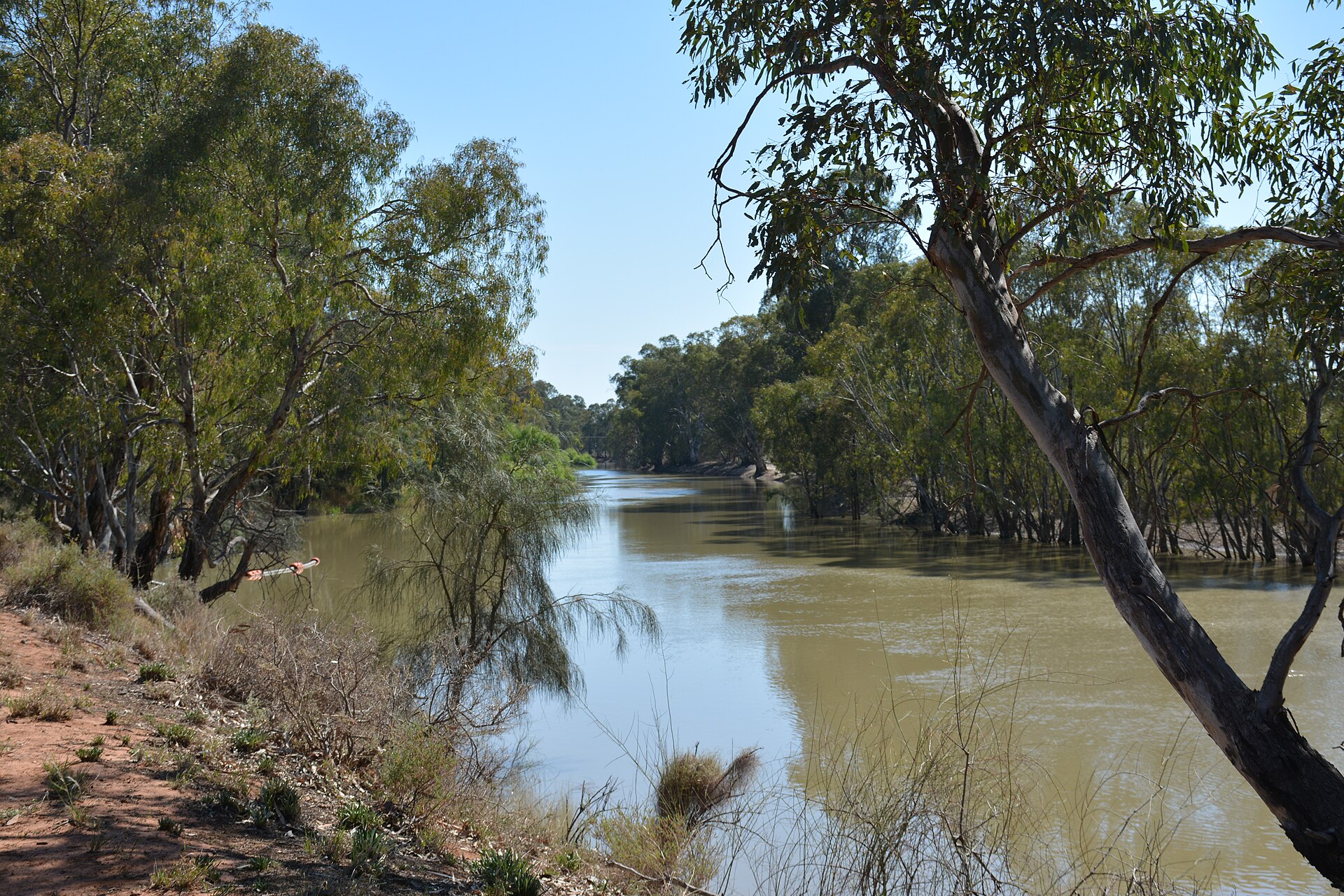
The Pike floodplain is one of the Riverland's great wetland systems — a maze of creeks, lagoons and anabranch channels that wraps around the river between Paringa and the Victorian border. Major works have reconnected it to environmental water, and the recovery has been striking.
For visitors it's a canoeing and birdwatching wonderland, threaded with quiet backwaters under towering red gums. Fishing for callop and Murray cod is part of the local rhythm here too.
It rewards the prepared and the unhurried. Launch a paddle craft, drift the channels, and let the floodplain reveal itself one bend at a time.
Got a photo of Pike River Wetlands?
Share your best shot. If we use it in the gallery, you'll be credited by name. Photos are reviewed before going live.
Featured in
Last verified 3 days ago
Within a short drive
Other spots in Paringa


You might also like
Similar experiences across Riverland

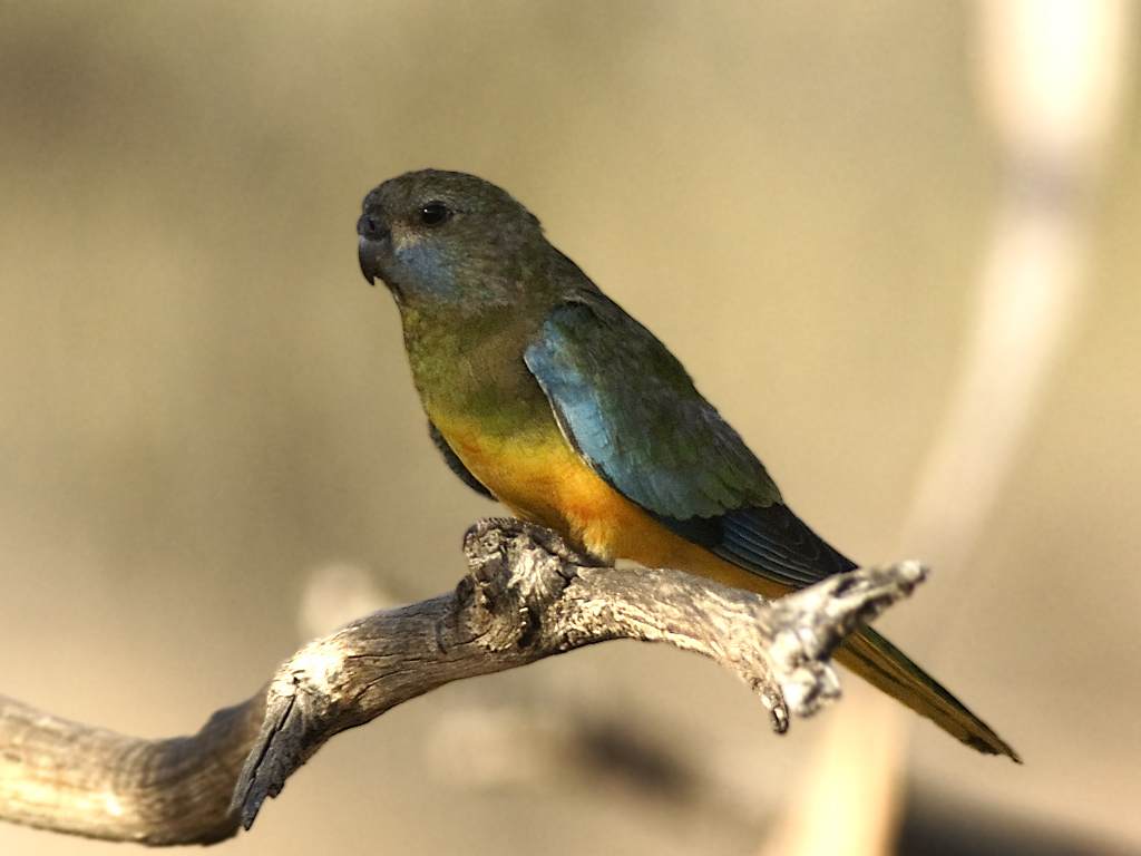
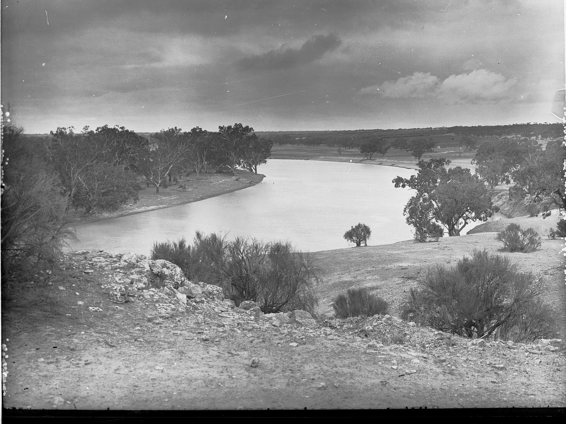
Image credits
- Marraboor River at Swan Hill.jpg by Peterdownunder , CC BY-SA 4.0 via Wikimedia Commons